
Figure:Greater London UK locator map 2010.svg

Dimensioni di questa anteprima PNG per questo file SVG: 494 × 600 pixels. Altris risoluzions: 198 × 240 pixels | 395 × 480 pixels | 633 × 768 pixels | 843 × 1 024 pixels | 1 687 × 2 048 pixels | 1 108 × 1 345 pixels.
Risoluzion plene (file tal formât SVG, dimensions nominâls 1 108 × 1 345 pixels, dimensions dal file: 302 KB)
Descrizion
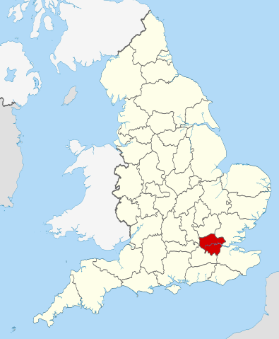
| Descrizion | Location of the ceremonial county of Greater London within England. |
| Date | |
| Sorzint |
National Geospatial-Intelligence Agency
|
| Autôr | Nilfanion |
Licence pal ûs
Io, detentore del copyright su quest'opera, dichiaro di pubblicarla con le seguenti licenze:
Il file al à la licence di distribuzion di Creative Commons Attribution-Share Alike 3.0 Unported.
- Tu sês libar/libare
- di condividi – di copiâ, distribuî e trasmeti il lavôr
- di modificâ – di adatâ il lavôr
- A lis cundizions seguitivis
- Atribuzion – Tu âs di dâ lis informazions adeguadis sul autôr, un leam ae licence e dî se a son stâts cambiaments. Tu puedis fâ chest in cualsisei mût rasonevul, ma no in maniere di fâ pensâ che e avaledin te o la maniere che tu dopris la opare.
- condivît inte stesse maniere – Se tu modifichis, cambiis o tu amplis il materiâl, tu scugnis distribuî i tiei contribûts in base ae stesse licence o compatibil cul origjinâl.

|
Tu puedis copiâ, distribuî e/o modificâ chest document su la fonde de licence GNU Free Documentation License, Version 1.2 o seguitivis pubblicadis de Free Software Foundation; sence nissune sezion no modificabil, sence un testo di copertine e sence un test di quarte di copertine. Una copie de licence si ciate inte sezion intitulade Testo della GNU Free Documentation License. |
Tu puedis sielzi la licence che tu preferissis

|
This is one of the images forming part of the Valued image set: Locator maps of the Ceremonial counties of England on Wikimedia Commons. The image set has been assessed under the valued image set criteria and is considered the most valued set on Commons within the scope:
Locator maps of the Ceremonial counties of England
You can see its nomination at Commons:Valued image candidates/Locator maps of English ceremonial counties. |
Storic dal file
Frache suntune date/ore par viodi il file cemût che al jere in chel moment.
| Date/Ore | Miniature | Dimensions | Utent | Coment | |
|---|---|---|---|---|---|
| atuâl | 24 di Nov 2010 a lis 00:36 | | 1 108 × 1 345 (302 KB) | Nilfanion | == Summary == {{Information |Description=Location of the ceremonial county of Greater London within England. |Source=Ordnance Survey [https://www.ordnancesurvey.co.uk/opendatadownload/products.html OpenData]: *Co |
Ûs dal file
Lis vôs ca sot a son leadis a cheste figure:
ûs globâl dal file
Chestis altris vichis a doprin chest file:
- Ûs in af.wikipedia.org
- Ûs in ar.wikipedia.org
- Ûs in arz.wikipedia.org
- Ûs in ast.wikipedia.org
- Ûs in az.wikipedia.org
- Ûs in be-tarask.wikipedia.org
- Ûs in br.wikipedia.org
- Ûs in ca.wikipedia.org
- Ûs in de.wikipedia.org
- Ûs in diq.wikipedia.org
- Ûs in el.wikipedia.org
- Ûs in en.wikipedia.org
- Ûs in es.wikipedia.org
- Ûs in fa.wikipedia.org
- Ûs in fi.wikipedia.org
- Ûs in fr.wikipedia.org
- Ûs in fr.wiktionary.org
- Ûs in ga.wikipedia.org
- Ûs in gl.wikipedia.org
- Ûs in hak.wikipedia.org
- Ûs in id.wikipedia.org
- Ûs in it.wikipedia.org
- Ûs in ja.wikipedia.org
- Ûs in la.wikipedia.org
- Ûs in lij.wikipedia.org
- Ûs in lld.wikipedia.org
- Ûs in lt.wikipedia.org
- Ûs in mr.wikipedia.org
- Ûs in ms.wikipedia.org
- Ûs in nl.wikipedia.org
- Ûs in oc.wikipedia.org
- Ûs in os.wikipedia.org
- Ûs in pl.wikipedia.org
- Ûs in pl.wiktionary.org
- Ûs in roa-tara.wikipedia.org
- Ûs in ru.wikinews.org
- Самым женским автомобилем 2009 года стал автомобиль люксовой марки Jaguar
- Беспорядки в Тоттенхэме привели к пожару
- Шаблон:Лондон
- Беспорядки из Тоттенхэма распространились по всему Лондону
- Из-за беспорядков в Лондоне отменяются спортивные мероприятия
- Лужков не желает позволять Кремлю вытирать о себя ноги
- В Лондоне арестован сын бывшего президента Киргизии
- Королеву Великобритании Елизавету II госпитализировали
- В Лондоне началась вторая в году забастовка сотрудников метрополитена
Mostrel'ûs globâl di chest file.